LET’S TAKE A WALK…
Chatburn, at the foot of Pendle, occupies a beautiful position in a hollow between two ridges. The village stands some 400 feet above sea-level and there are excellent views around it
CHATBURN CIRCULAR WALK
Distance: 4 miles
Time: 2 to 2.5 hours
Terrain: Tracks, fields and roads. Steep sections and can be wet underfoot
Public transport: Clitheroe to Chatburn and Downham (Mon to Sat)
Map – OS Explorer OL41
Chatburn is a place of medieval origin, the derivation of its name being from Ceadd’s Stream (Ings Beck).
The pleasantly grouped houses and cottages are mainly built of local limestone and the village has its own shops and inns, playing fields, school, church and chapel.
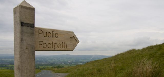
So let’s take a walk starting from Downham Road in the village and, on crossing the railway bridge, take the public footpath signed to the right past the village hall.
On joining Victoria Avenue, bear left and walk to the end where you turn right onto a lane. On meeting the small stream, turn right and follow the well-marked path up to the A59.
Taking care, cross the bypass and head through a kissing gate on the well-trodden path towards the right hand side of the wood ahead. Cross the stile in the wall corner ahead and follow the path up onto the side of Worsaw Hill. (Take care on the exposed limestone, which can be slippery in wet weather).
Cross another stile and follow the path around the hill, passing Worsaw End House down on your right. Keep to the path above the wall which, after a short while, bears to the left up hill and passes through a kissing gate. Carry straight on to pass through another kissing gate or stone squeeze stile.
Keep the hedge on your left and as you reach the field bear slightly right to pass the end of a hedgerow ahead.
Carry on in the same direction to pass along the right hand side of Langland Hall Wood and into Downham village via two more squeeze stiles.
Turn left and climb up to the top of the village, turning, right past the Assheton Arms to follow the footpath past the bungalow.
Turn left through the gate and head uphill through the stone squeeze stile to the crest of Downham Green (the route of the old Roman road).
On passing through a group of trees, bear half right to pick up the path which descends towards the obvious limestone knolls, known locally as Fairy Rocks. On reaching the outcrops, turn left and head down passing through the gate onto the lane and walk left for a short way to meet the Rimington Road. Cross the road and follow the path down the side of the wood and pass under the railway. At the next old gateway, a short diversion to the right will take you to the packhorse bridge across Swanside Beck.
Retrace your steps from the stone stile and bear right across the field to cross the footbridge. Bear left uphill and continue ahead across another stile to meet an old stone ‘outbarn’.
Pass to the left of the barn and then re-cross the hedge by the gates and follow this hedge up to the bridge over the railway.
Follow the path through a number of gates to return to Downham Road at the bypass bridge and back to Chatburn village.